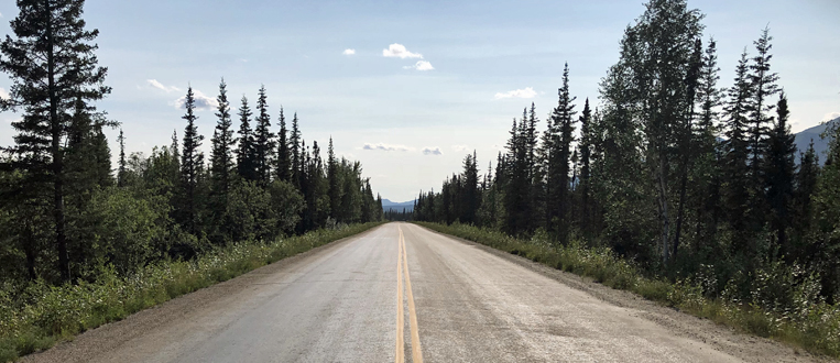
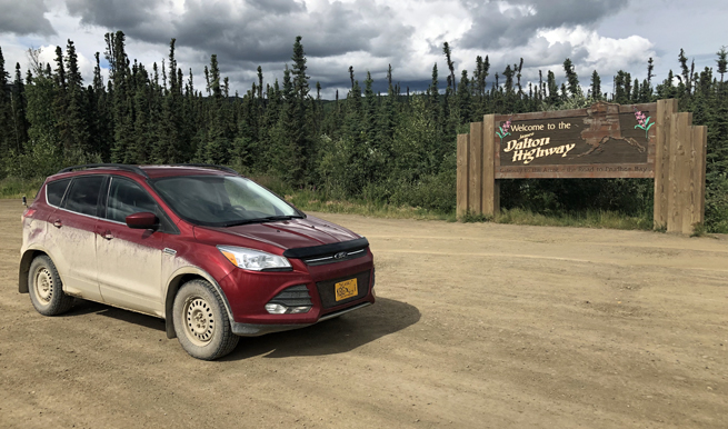
Jack and I drove the Dalton highway from
7–10 July 2019. The sun never set on this four day trip (414 miles in
each direction) over one of the roughest, remotest roads in the world. It was
spectacular in every conceivable way. Make this trip if you possibly can.
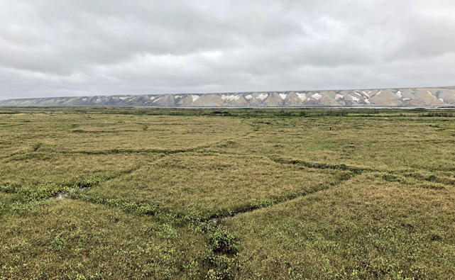
Tundra polygons,
south of Deadhorse.
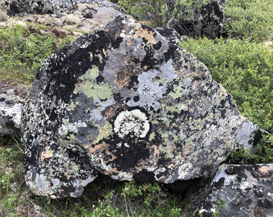
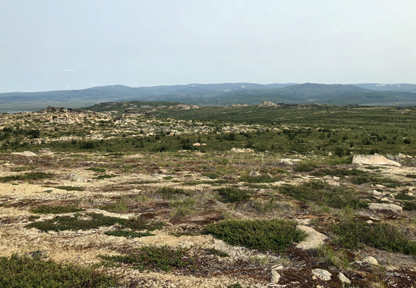
Lichen,
Finger Mountain area.
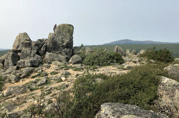
Jack, rock
scrambling, Finger Mountain.
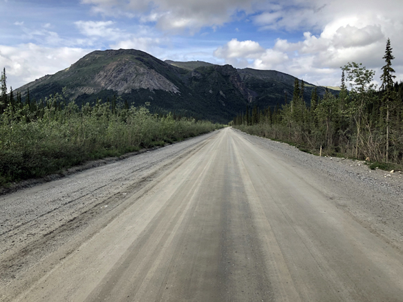
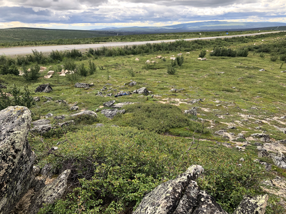
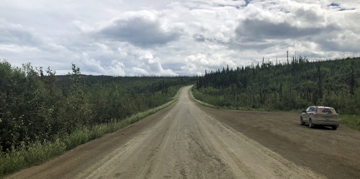
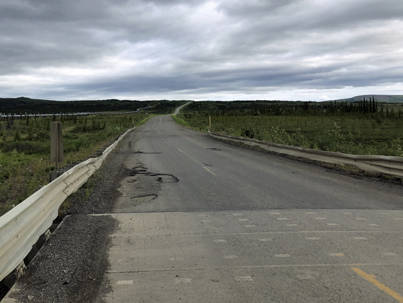
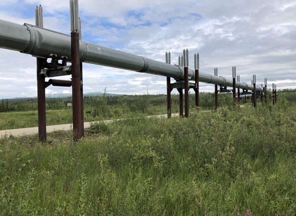
The Dalton,
from the rock in the previous photo.
Looking
northeast, from Finger Mountain area.
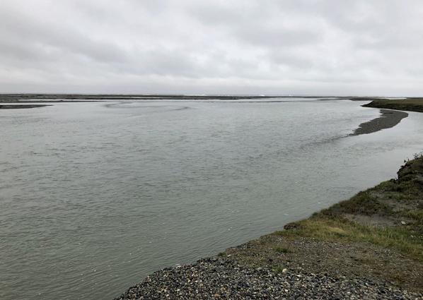
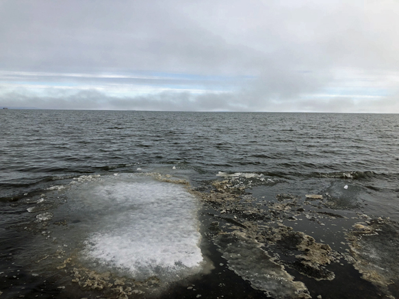
Sagavanirktok
River, just south of the Arctic Ocean.
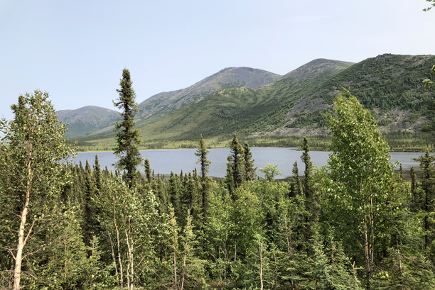
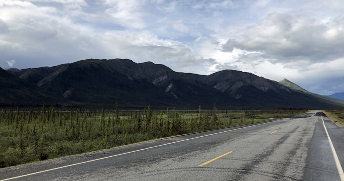
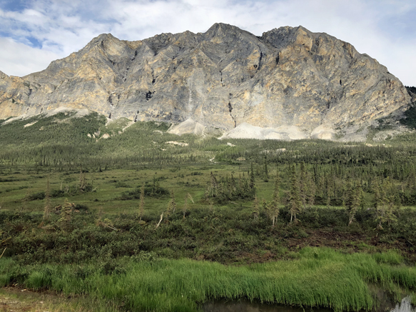
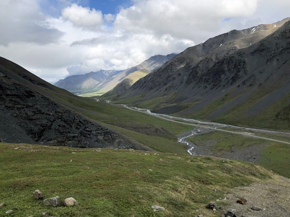
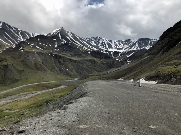
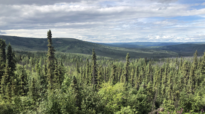
Brooks Range,
southern edge.
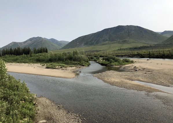
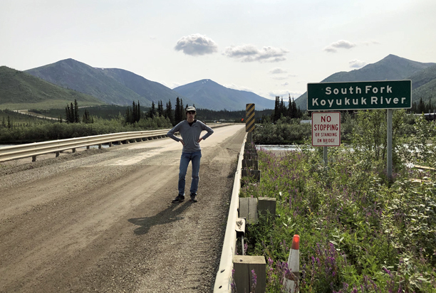
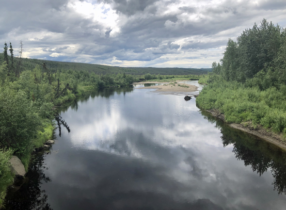
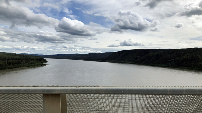
Koyukuk River,
crossing the Dalton.
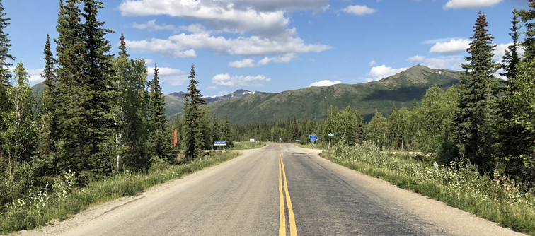
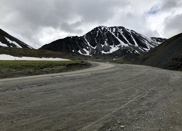
The Dalton
heading north out of the Brooks Range.
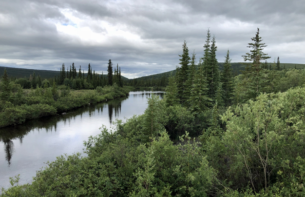
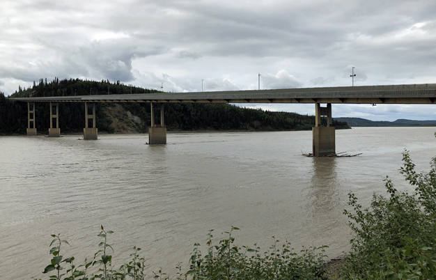
River, south
end of the Dalton.
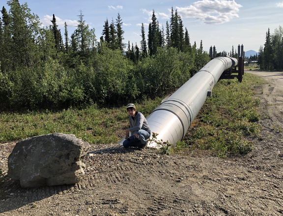
Jack on the
pipeline, Coldfoot.
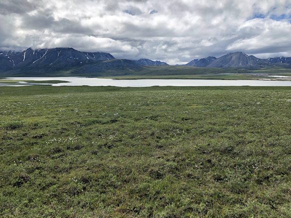
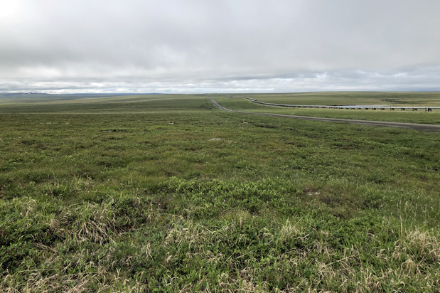
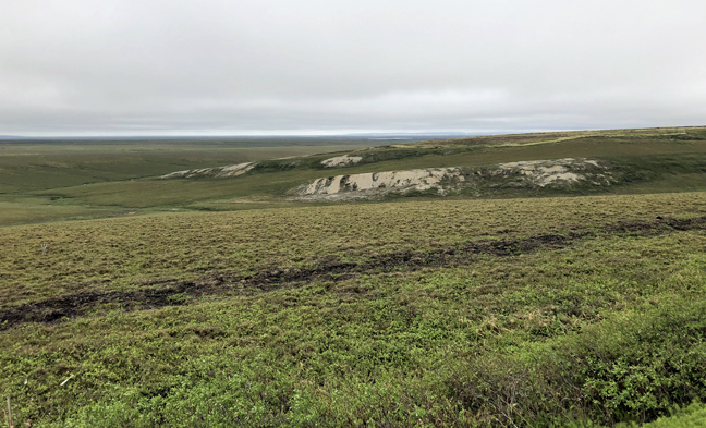
Arctic landscape,
south of Deadhorse.
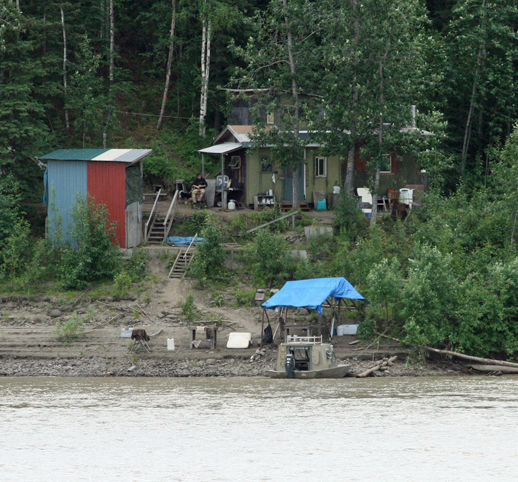
Homesteader,
along the Yukon.